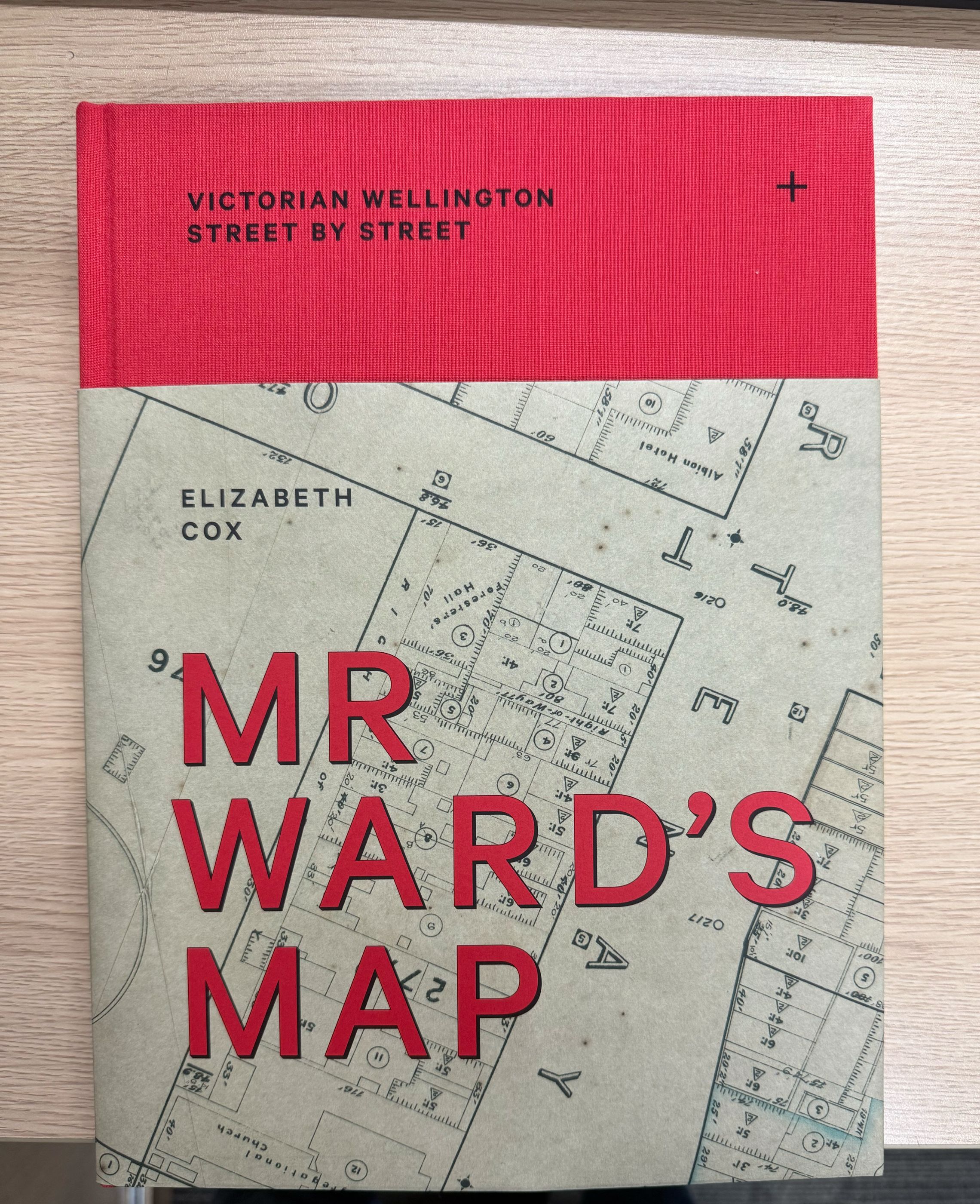
Mr Ward's Map: Victorian Wellington Street by Street
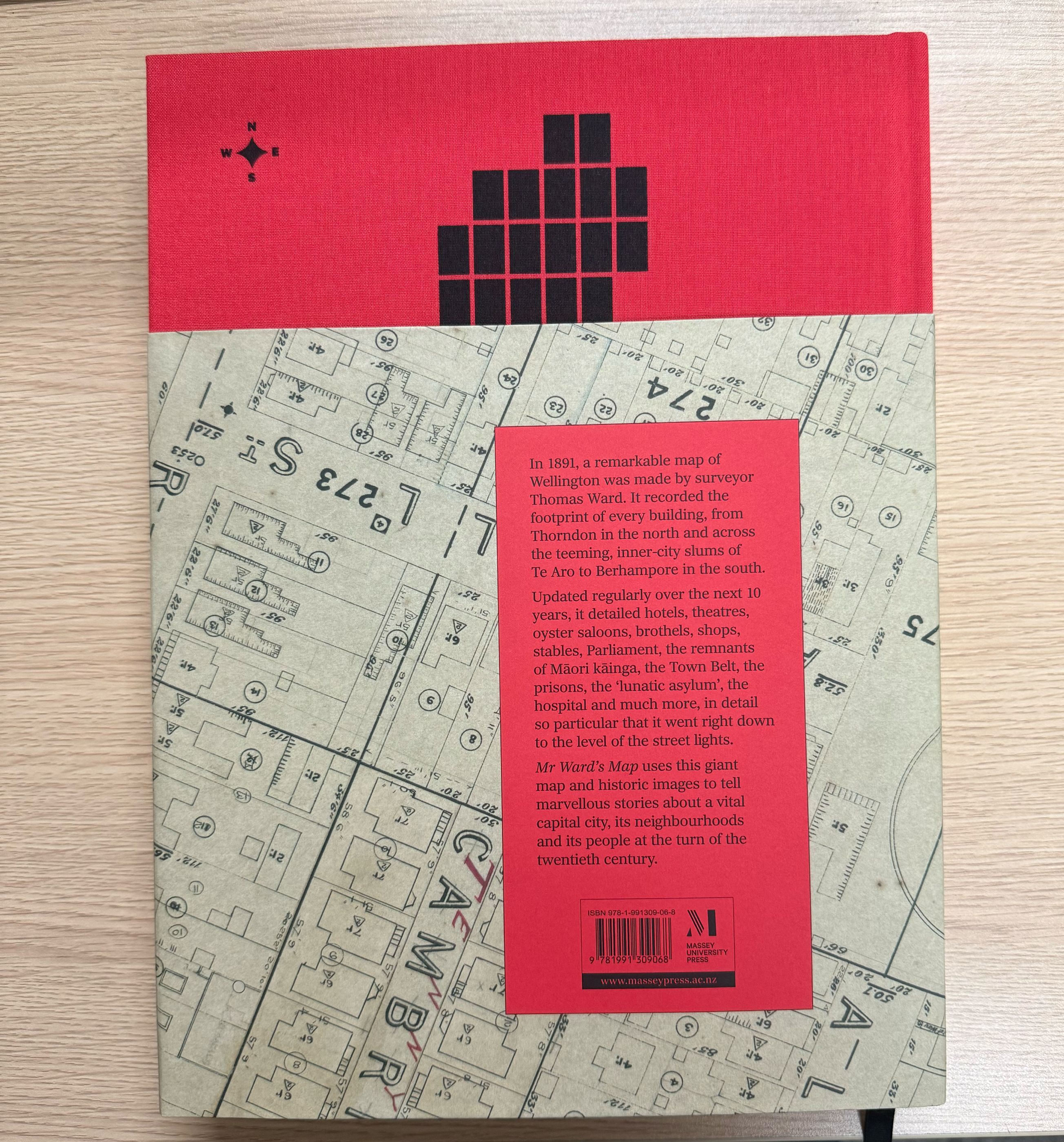
Mr Ward's Map is an epic book about Pōneke's social history told through a series of maps: 88 sheets produced in the late 1800s by a surveyor, Thomas Ward.
Find out more about it in this blogpost where I unpack the design decisions.
It was released in November, and was on the Unity Books Wellington top 10 bestsellers list for 2025 (despite only having been out for a month!)
Here are some images from the printer! I promise some portfolio shots soon!